Walking as a Research Method
- 4 August, 2023
- ckcvietnam
The use of mobile methodologies to create more dynamic understandings of space and place is growing in social science research. The overall idea of using walking practice as a method is to observe social phenomena in a given space and gather diverse data (i.e., opinions, spatial locations, or visual data) linked to specific spatial locations1.
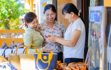
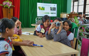
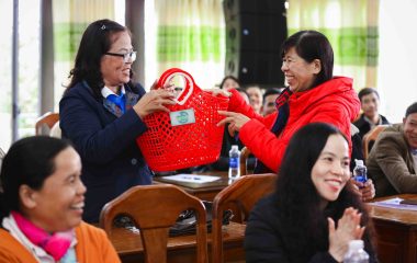
CKC applies walking in social impact assessments to get to know the community, to watch the different social receptors within the Project boundary, to uncover the Project impacts on the community, and to engage with the natural and the social in different ways apart from frequently used methods such as interviews and focus group discussions. Walking is also used as an approach to locate and map the collected data (physical objects, spatial features, and phenomena) with the GPS application.
Let’s take a small backpack, water bottle, raincoat, umbrella, notebook, pencils, camera, and walking shoes to start the “walking” journey for exploring communities.
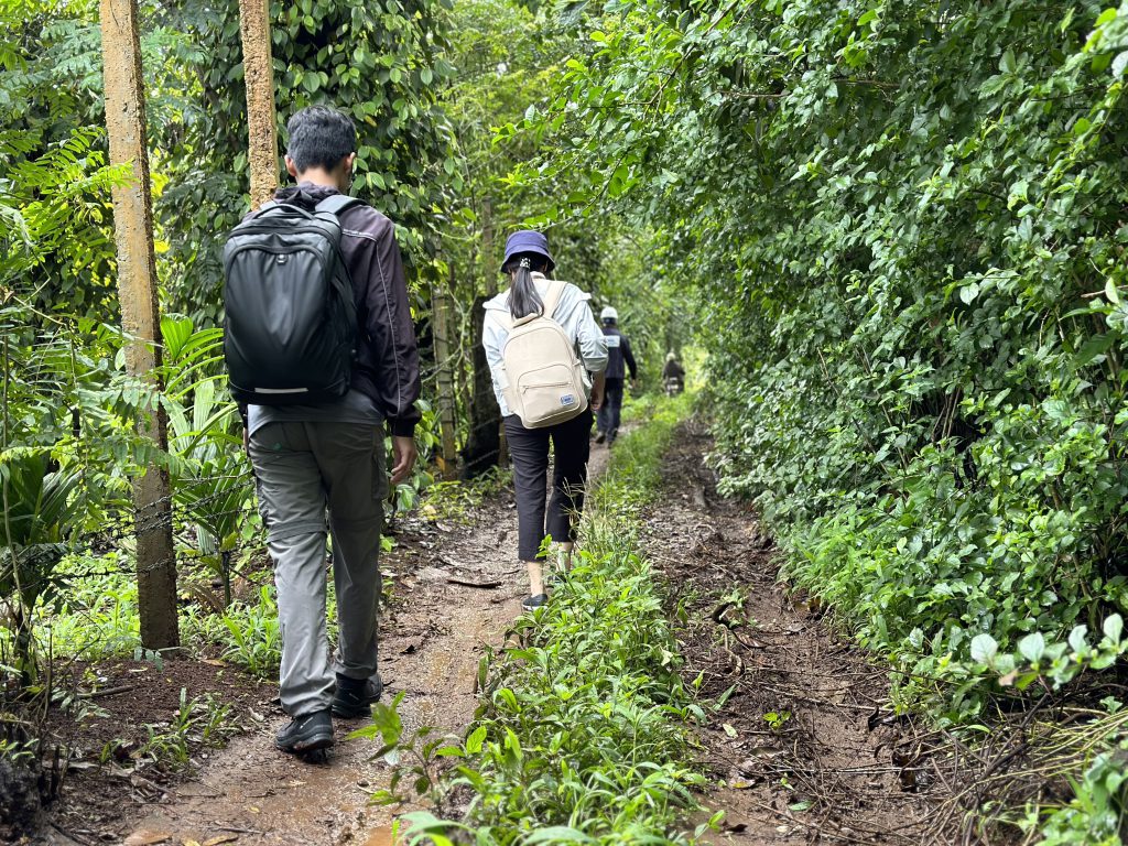
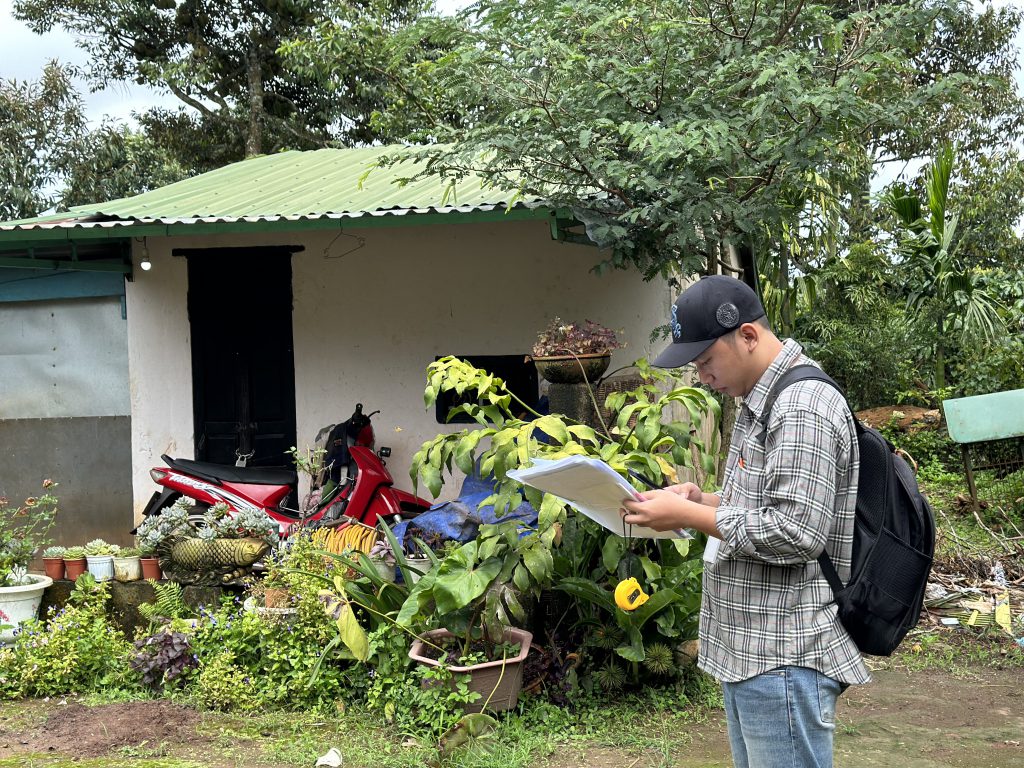
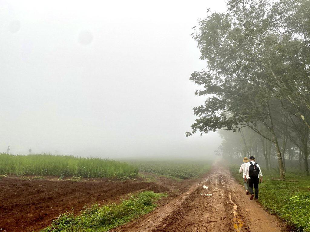
Photos: CKC members study communities in Buon Ho town, Cu M’gar and Krong Buk districts, Dak Lak province by using walking practice during 24-28 July 2023.
1 Kowalewski, M. & Bartłomiejski, R. 2020. Is it research or just walking? Framing walking research methods as “non-scientific”. Geoforum 114 (2020) 59.65
Recently News

TUYỂN DỤNG TRỢ LÝ NGHIÊN CỨU
1 June, 2026
Related Articles
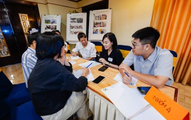
STRENGTHENING ORGANISATIONAL CAPACITY THROUGH PARTICIPATORY ACTION RESEARCH
20 July, 2026
Since 2024, CKC has been implementing the Participatory Action Research on Organisational Capacity Strengthening (PAROCS). The initiative aims to objectively assess the Center’s strengths and areas for improvement, identify organisational capacities that need further development to more effectively fulfill its...
Shaping the Future through Education – Nurturing a Passion for Science in the Younger Generation
12 June, 2026
Aligned with CKC’s core mission of promoting sustainable development initiatives and strengthening the capacities of young people, CKC is honored to accompany the “Hue City Youth and Children’s Creativity Contest 2026.” The program is organised by the Hue City People’s...
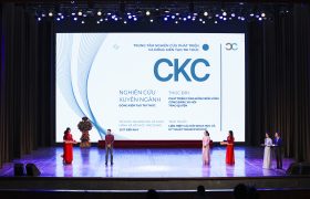
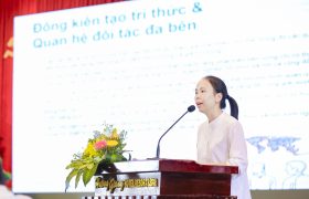
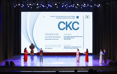
Co-creation and transdisciplinary partnership – At the core of CKC’s practice
11 June, 2026
Amid complex challenges in Vietnam’s localities, such as inequality, multidimensional poverty, and climate change, CKC promotes a knowledge co-creation approach and transdisciplinary partnership to better mobilize diverse societal resources. Knowledge is not confined to academic or professional domains; it is...
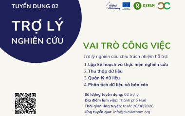
TUYỂN DỤNG TRỢ LÝ NGHIÊN CỨU
1 June, 2026
Trung tâm Nghiên cứu Phát triển và Đồng kiến tạo Tri thức (CKC) cần tuyển dụng 02 TRỢ LÝ NGHIÊN CỨU tham gia triển khai hoạt động nghiên cứu trong khuôn khổ Dự án “Phát triển chuỗi cung ứng...

EXPANDING GREEN LIVELIHOOD OPPORTUNITIES FOR WOMEN IN PHONG DINH THROUGH POTTERY AND SEDGE CRAFT TRAINING – PWG-PHONG DINH PROJECT
21 May, 2026
From March to May 2026, Basic and Avanced Training Courses on Pottery and Sedge Craft were conducted in Phong Dinh Ward, Hue City, engaging 80 trainees. Remarkably, over 90% were local women from diverse age groups, fostering a vibrant multi-generational...
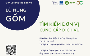
TÌM KIẾM ĐƠN VỊ CUNG CẤP DỊCH VỤ NUNG GỐM
29 April, 2026
Trung tâm Nghiên cứu Phát triển và Đồng kiến tạo Tri thức (CKC) đang tìm kiếm đơn vị cung cấp dịch vụ NUNG GỐM trong khuôn khổ Dự án “Phát triển chuỗi cung ứng sản phẩm làng nghề thân thiện...
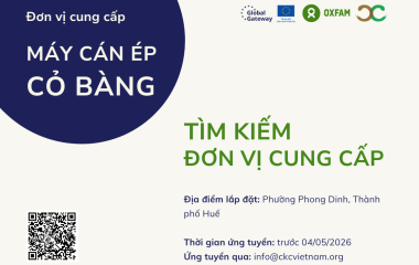
TÌM KIẾM ĐƠN VỊ CUNG CẤP MÁY CÁN ÉP CỎ BÀNG
28 April, 2026
Trung tâm Nghiên cứu Phát triển và Đồng kiến tạo Tri thức (CKC) đang tìm kiếm đơn vị cung cấp MÁY CÁN ÉP CỎ BÀNG trong khuôn khổ Dự án “Phát triển chuỗi cung ứng sản phẩm làng nghề...
Launching The ‘Women-led Green Transition’ Project (PWG) in Phong Dinh Ward, Hue City
20 March, 2026
On March 17, 2026, CKC organized the Inception Conference for the “Women-Led Development of Eco-Friendly Handicraft Supply Chains for Tourism and Services in Phong Dinh Ward, Hue City” Project (PWG Phong Dinh), officially launching the women-led green transition initiative in...
Photography Training – Inspiring Creative Perspectives on Forest Protection for Students in the SODI – A Luoi Project
4 February, 2026
Continuing efforts to promote environmental awareness under the SODI – A Luoi Project, on 31 January and 01 February 2026, CKC, in collaboration with the Vietnam Union of Friendship Organizations of Hue City (VUFO Hue), organized a Photography Training as...
Training with Local Communities under the SODI – A Luoi project: Turning Understanding into Action for Forest and Environmental Protection
5 January, 2026
On December 27 and 28, 2025, Vietnam Union of Friendship Organizations of Hue City (VUFO Hue), in collaboration with the Center for Development Research and Co-Creation of Knowledge (CKC) successfully organized three training courses on forest and environmental protection for...